
In today’s digital landscape, map animations have become essential tools for visual storytelling, data visualization, and creative projects. Whether you’re presenting geographic data, explaining historical events, or creating compelling travel vlogs, map animations can make your content more engaging and visually appealing.
Creating map animations might seem like a daunting task, but with the right tools and techniques, anyone can produce high-quality results. This guide explores everything you need to know about making map animations, from selecting software to implementing best practices for stunning results.
What is a Map Animation?
Map animation refers to the dynamic visualization of geographic data, paths, or locations on a map over time. Unlike static maps, these animations provide a narrative element, showing movement or transitions in an engaging way.
Common applications include:
- Travel Videos: Displaying routes or itineraries.
- Educational Content: Explaining historical events or scientific data.
- Business Presentations: Visualizing sales territories or demographic changes.
- Social Media Content: Creating engaging, shareable geographic visualizations.
Why Use Map Animations?
1. Engagement
Dynamic visuals are far more engaging than static images, helping to retain viewers’ attention.
2. Clarity
Animations can simplify complex geographic data, making it easier for viewers to understand trends and patterns.
3. Versatility
Map animations can be tailored to suit various audiences and purposes, from corporate presentations to creative projects.
4. Professional Appeal
Adding animated maps to your content demonstrates technical proficiency and creativity, enhancing your brand image.
Tools for Creating Map Animations
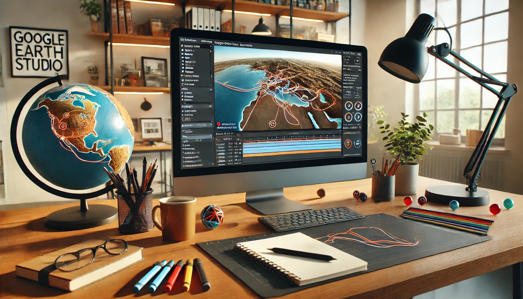
1. Google Earth Studio
Google Earth Studio is a browser-based animation tool that allows users to create professional-quality map animations using Google Earth’s 3D imagery.
- Features: Timeline-based editing, keyframe animation, and customizable camera angles.
- Best For: Travel videos, landscape flyovers, and storytelling.
2. After Effects with Map Plugins
Adobe After Effects, combined with map-specific plugins like GeoLayers, offers unparalleled flexibility for creating map animations.
- Features: Advanced editing tools, integration with geographic data, and professional-grade effects.
- Best For: Detailed, cinematic animations.
3. Flourish
Flourish is a user-friendly data visualization tool that includes map animation templates.
- Features: Interactive map creation, timeline animations, and export options.
- Best For: Business presentations and data storytelling.
4. ArcGIS StoryMaps
ArcGIS StoryMaps combines maps with multimedia elements to create interactive stories.
- Features: Integrated GIS data, drag-and-drop design, and publishing tools.
- Best For: Educational content and professional presentations.
5. Blender
Blender, a free and open-source 3D creation suite, can be used to create custom map animations with stunning effects.
- Features: 3D modeling, animation tools, and rendering capabilities.
- Best For: Advanced users creating high-quality, detailed animations.
How to Create a Map Animation: Step-by-Step Guide
Step 1: Define Your Purpose
Understand the objective of your map animation. Are you visualizing data, telling a story, or demonstrating a process?
Step 2: Gather Data
Collect the geographic data required for your animation. This might include locations, routes, or statistical information. Tools like Google Maps or GIS software can help with data collection.
Step 3: Choose the Right Software
Select a tool that suits your skill level and the complexity of your project. Beginners might opt for Flourish, while professionals may prefer After Effects or Blender.
Step 4: Design Your Map
Customize the base map to align with your project’s theme. Adjust colors, labels, and other elements for clarity and aesthetics.
Step 5: Add Animation Elements
- Use motion paths to depict movement (e.g., a travel route).
- Include pop-ups or markers to highlight key locations.
- Integrate time-lapse effects to show changes over time.
Step 6: Incorporate Multimedia
Enhance your animation with additional elements like:
- Text overlays: Add context or descriptions.
- Background music: Choose soundtracks that match the animation’s mood.
- Voiceovers: Narrate the story for a personal touch.
Step 7: Preview and Edit
Review your animation for errors or inconsistencies. Make adjustments to timing, transitions, and design as needed.
Step 8: Export and Share
Export the final animation in a format suitable for your platform. Common formats include MP4 for video or GIF for social media.
Tips for Creating Stunning Map Animations
1. Keep It Simple
Avoid cluttering the map with too many elements. Focus on the key points you want to convey.
2. Choose the Right Colors
Use contrasting colors to make important features stand out. Stick to a consistent color scheme for a professional look.
3. Focus on Smooth Transitions
Ensure that movements, zooms, and pans are fluid to maintain viewer engagement.
4. Use Labels Wisely
Clearly label important locations, but avoid overcrowding the map with text.
5. Optimize for Platforms
Adjust the resolution and aspect ratio of your animation based on the platform you’re targeting, such as YouTube, Instagram, or LinkedIn.
Best Practices for SEO Optimization
Creating a map animation is just the first step. To maximize reach, optimize your content for search engines:
1. Use Relevant Keywords
Incorporate keywords like “map animation software,” “how to make animated maps,” and “animated map tutorials” in your content.
2. Create Engaging Titles
Use compelling, keyword-rich titles like “How to Make Professional Map Animations in Minutes.”
3. Write Detailed Descriptions
Include detailed descriptions with keywords when uploading your animation to platforms like YouTube.
4. Leverage Social Media
Share your map animation on social media with relevant hashtags (#MapAnimation, #DataVisualization).
5. Add Subtitles
If your animation includes a voiceover, add subtitles to enhance accessibility and SEO.
Applications of Map Animations
1. Education
Teachers and educators can use animated maps to explain historical events, geographic concepts, or scientific phenomena.
2. Marketing
Businesses can showcase market trends, delivery routes, or store locations through engaging animations.
3. Travel and Tourism
Travel vloggers and agencies can illustrate journeys, itineraries, or popular destinations.
4. News Media
Journalists can use map animations to report on natural disasters, political events, or demographic trends.
5. Gaming
Game developers can create immersive world maps for storytelling or navigation.
Future of Map Animations
As technology advances, map animations are becoming more accessible and sophisticated. Trends to watch include:
- 3D Map Animations: Providing more immersive and realistic visuals.
- Interactive Maps: Allowing users to interact with animated elements.
- AI-Driven Animations: Automating the creation process with machine learning.
Conclusion
Map animations are a powerful way to present geographic data and tell stories in a visually compelling manner. By leveraging the right tools and techniques, you can create animations that captivate your audience and enhance your content. Whether you’re a novice or a professional, following this guide will set you on the path to mastering map animations.